David Dehenauw says the thunderstorm has left Flanders
Updated: 24 June 2026, 16:30 UTC. In Flanders on Wednesday, weather presenter David Dehenauw said the thunderstorm had moved out of the region, according to HLN. The update follows a period of unstable weather and leaves residents to focus on local clean-up, transport disruption and official safety guidance rather than continuing storm movement.
Verified by Validiris·📚 4 sources·🧠 AI-checked·🇧🇪 Belgian: HighWhy you can trust this
About this story
The subject is a short-notice weather update for Vlaanderen. HLN reported the Dutch-language cluster line, “David Dehenauw geeft update: Onweer heeft Vlaanderen verlaten.” Dehenauw is a Belgian weather presenter and meteorologist known to Flemish audiences through commercial broadcaster VTM. The practical issue is whether the active thunderstorm threat has passed and what residents should still check locally.
How to read this story
The history
Belgium regularly sees short, intense thunderstorm cells in warm and unstable air masses. The public warning system is built around fast-changing colour-coded alerts from the Royal Meteorological Institute, with municipal and emergency-service follow-up when damage occurs.
Regional impact
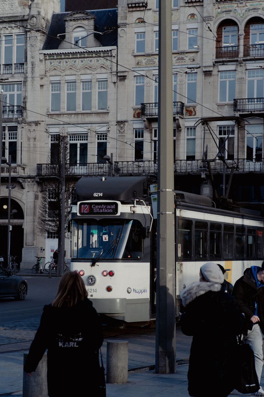
The impact is regional and Flemish. Residents, commuters, event organisers and municipalities in Vlaanderen remain the main audience for the update, especially where local roads, trees, basements or public transport were affected.
Local impact
For Flemish municipalities, the practical focus shifts from storm movement to local checks: roads, trees, drains, public transport and event sites.
What this means for you
Check official alerts before travelling, avoid flooded streets, report life-threatening danger through 112, and use 1722 for non-urgent storm or water damage.
Opposing perspectives
- Residents and commuters seeking all-clear information
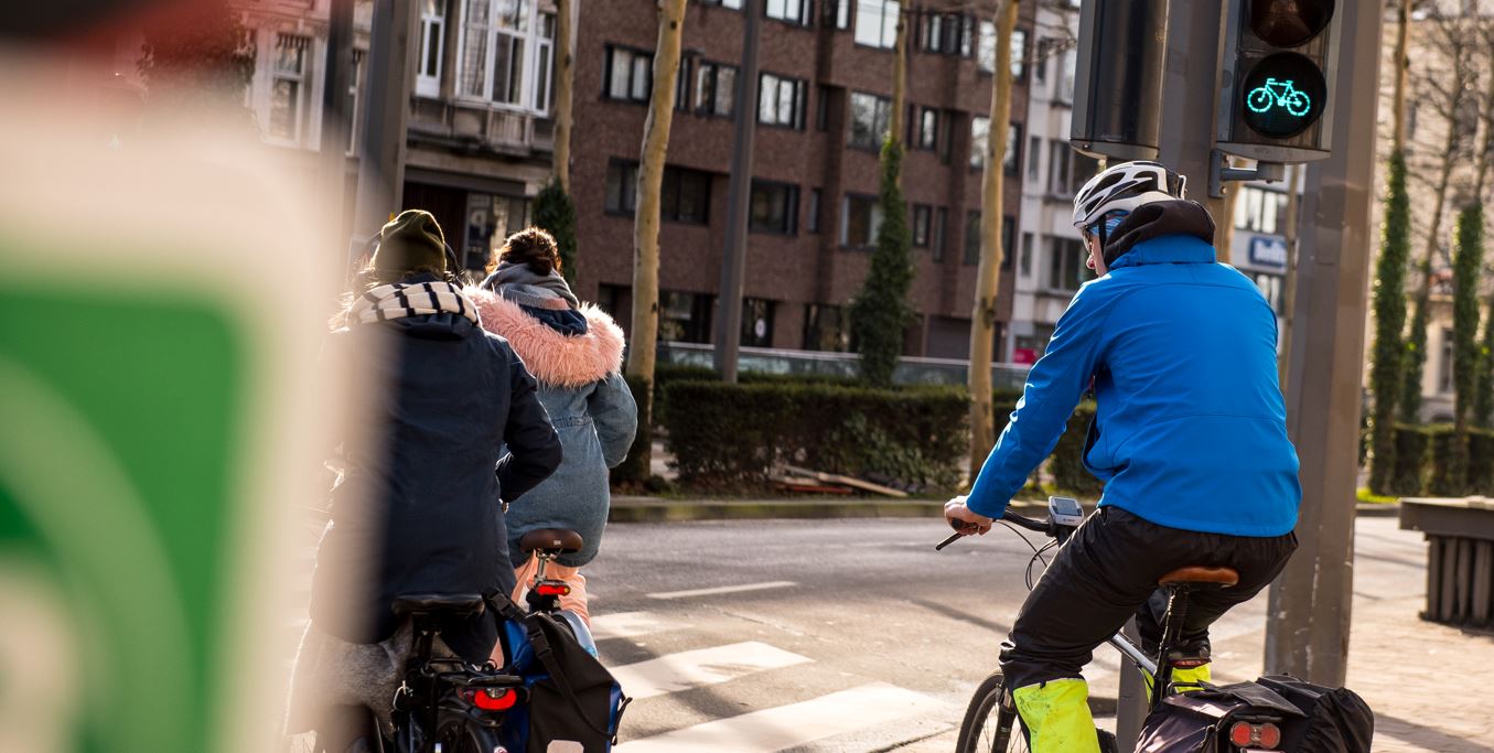
Residents, cyclists, commuters and event organisers need clear language when a storm has moved away. Their priority is knowing whether normal activity can resume, while still checking local hazards such as fallen branches, standing water or delayed trains.
- Emergency services and municipal authorities
Emergency services and municipalities focus less on the storm track itself and more on remaining incidents after the weather passes. Their view is practical: use 112 only for danger to life, use 1722 for non-urgent storm damage, and keep roads and public spaces clear for response teams.
Related to this story
Pulse Insight — This topic connects to 10 associations, 4 funding programmes, 133 upcoming events and 3762 jobs through the Flanders ecosystem.
Live connections from the Belgium Impulse ecosystem — not recommendations.
This briefing was prepared with AI assistance and reviewed by a Belgium Impulse editor before publication. methodology.